I get dropped off north of interstate 10 where I stopped roughly 3 weeks before by my aunt and cousin.
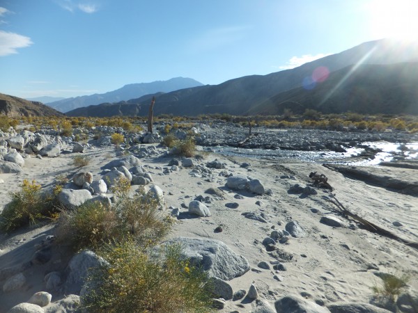
It is nice to be back on the trail. It is a small climb up through wind turbines and a pleasant drop to the Whitewater River. The river reminds me of a glacier stream in Chile with tons of sediment in it. My bottles are full of sediment.
 Credit: Jay S |
||
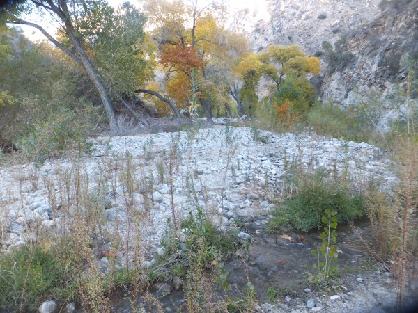
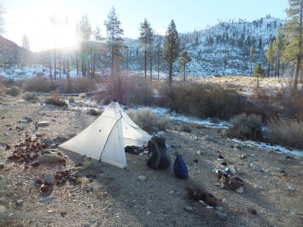
Darkness arrives before I reach Mission Creek and I pass a few flat spots but continue on hoping to find water at Mission Creek at mile 226. There is just a trickle of water flowing but it is better than the sediment filled water in my bottle. I bivy on a flat spot above the stream.
Morning dawns and I get an early start. It is nice to be finally following a stream. The water is somewhat intermittent at times as it disappears unexpectedly.
 Credit: Jay S |
||
 Credit: Jay S |
||
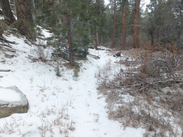
I wake at 5am to a cold 21 degrees. Fortunately it was a calm night and I did not have to worry about trees blowing down. I am walking by 6:30 and make good time to the top. I run into lots of snow above 8,000 feet in the shade. It is a cold day with a high around 40 degrees. Afternoon clouds roll up the valleys and the aspect makes all the difference in temperature. Sun is hot, shade is cold.
 Credit: Jay S |
||
 Credit: Jay S |
||
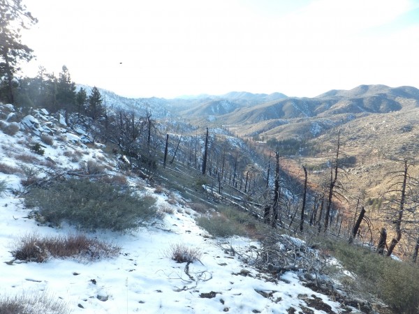
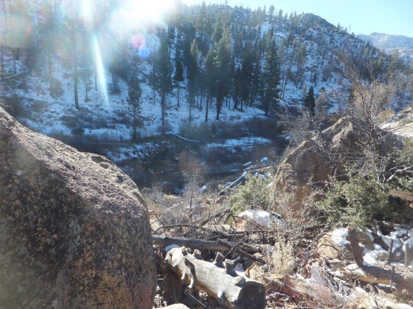
I descend into Arrastre Creek with few big firs and climb up again through mixed terrain and after a 13 mile hike I reach Highway 18.
 Credit: Jay S |
||
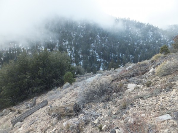
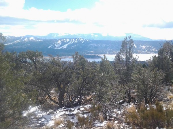
I make a camp on the ridge in a flat spot. It storms in the early evening and clears in the morning. It is 16 degrees in the ice covered tent in the morning. I am out early wearing all of my clothes including mittens. It is a nice walk through a lovely forest around Gold Mountain. There is more snow than I have seen so far. I get my first views of Mount Baldy and the San Gabriels. I drop into Van Dusen Canyon and run into a jogger who tells me it was 12 degrees in town. This is the first person I have seen hiking this section so far. The creek has water after I bust off a thick cover of ice. This is the best tasting water of the trip. Way better than Big Bear Citys treated water. I take a break in a snow free sunny spot and eat fresh cheese and jerky. I cross the road later and about 50 feet from the road hear a car. It is a forest ranger. How funny that I just missed them?
A little further I bump into Matt (Half Jesus) coming from Canada. We have a good talk and move on.
Below Bertha Peak I see super fresh bear tracks in the snow. I soon crest the ridge and have good cell service and start to call home. I am all of a sudden surrounded by people who are day hiking Bertha Peak. It is hard to have a tearful conversation with my mother with a herd of people around. I walk down to the Cougar Crest trail junction and make a couple of more calls. Heading back right on the PCT the herd thins and soon it is just Half Jesus tracks and mine. It is super pleasant walking in a few inches of snow with old snow underneath that cushions my sore feet.
 Credit: Jay S |
||
 Credit: Jay S |
||
Little Bear Spring is dry as well as Holcomb creek. I find a nice site across the creek that is snow free as the sun is setting. I scrape snow out of the creek bed for water and have Lasagna with fresh cheese. The cheese is good for the cold. It never got above 40 degrees again today.
 Credit: Jay S |
||
It a sunny morning and I move slowly letting the suns rays arrive in the valley floor before departing. Further along a look down at Holcomb Creek and see what looks to me like a beaver pond. I am surprised to see a beaver pond in southern California. I should have known there are beaver in southern California.
 Credit: Jay S |
||
 Credit: Jay S |
||
 Credit: Jay S |
||
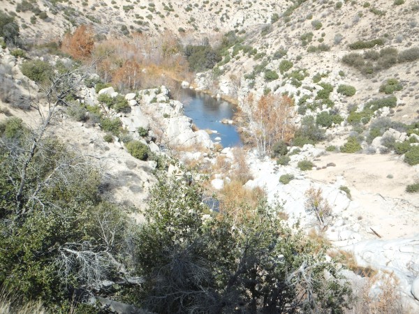
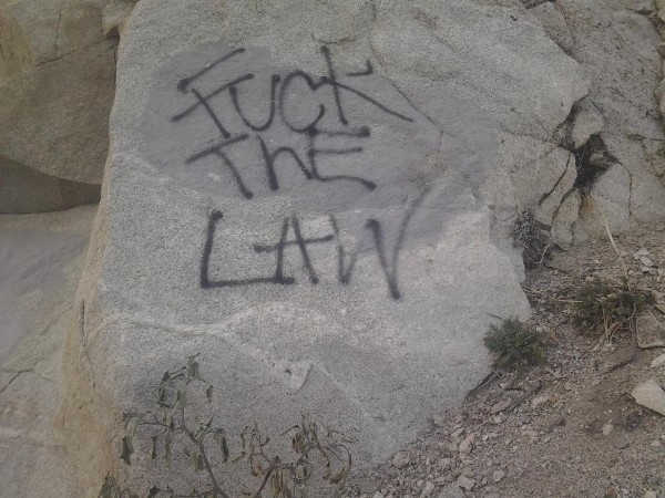
After a good soak I continue on. The trail follows deep creek downstream along a defunct old water diversion project that used to provide water for Hesperias fruit growers. I pass an area of graffitied rocks and reach the spillway of the Mojave Forks reservoir which is an emergency system for wet years that I hope this one will become.
 Credit: Jay S |
||
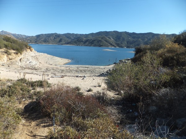
The morning is cold and I have to wade the creek first thing. I wade in just socks and pebbles freeze to my socks when I reach the other side. The sun is soon up and I make the long traverse over to Lake Silverwood.
 Credit: Jay S |
||
In the morning it is a balmy 29 degrees and I am off before 7am. It is another climb up to a traversing ridge. Cell service is the best it has been in a while. There is a lot of green grass in the shaded areas of the trail. I make a call home and my mother assures me it is OK. Its not though. It is crazy how she can be OK one second and so out there the next. I dont know what to do. I talk to Ben (the guy staying at my place) and get my next shipment sent to Wrightwood. I will have to print maps at the Hotel at I 15 and convenience store shop for the next little bit.
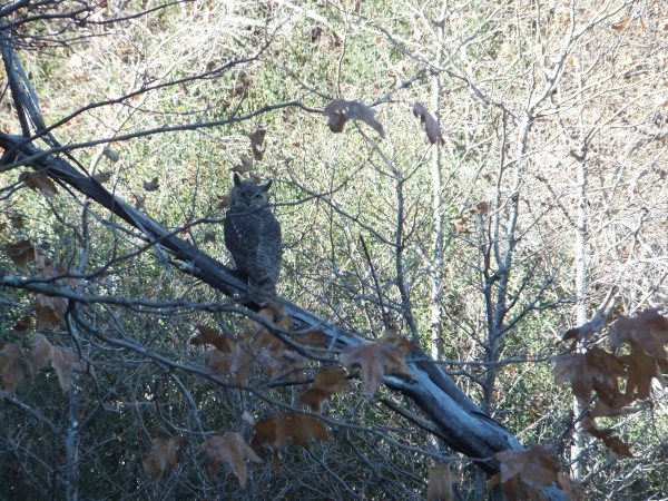
I see an owl in a tree right above the trail and a little later I find a full roll of duct tape on the trail that will be of great us later in the trip.
 Credit: Jay S |
||
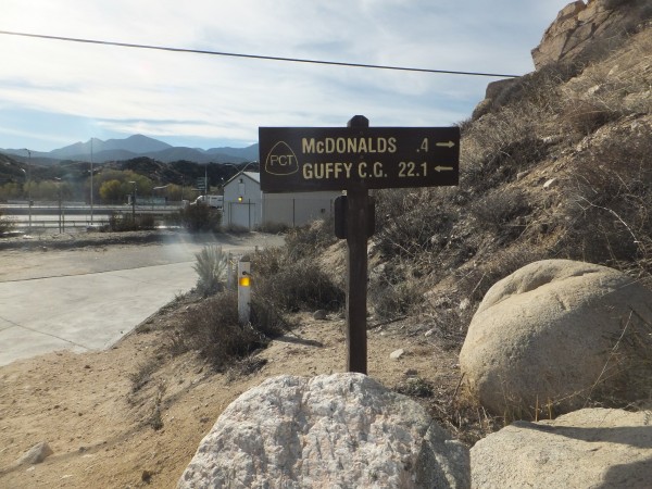
It is a fantastic drop down with great views. The trail winds into Chowder Canyon there are three powerlines bringing in power for the unquenchable thirst of LA. All of a sudden you come around a corner and there is Interstate 15. I see my first ever trail sign for McDonalds .4 miles. I hope there is somewhere better to eat.
 Credit: Jay S |
||
When approaching civilization the first sounds you hear are the trains. Next is the trucks and finally the hum of the interstate. The hum turns into vibrations that rattle the windows in the Best Western. The smell of brakes is all I can smell outside. Have any environmental studies been done I wonder?
My room is not ready yet so I leave my pack to go eat at the nearby Subway. On the walk up I had casually said to myself thank God there is a Subway. This is where it gets weird. I am eating my sandwich and make eye contact with a well dresses Hispanic. He comes over to me and tells me I am a good man. Then goes on to tell me that the Holy Spirit told him to talk to me. He continues that I am a great man who will do wonderful things. I go along with it because what will it hurt. I finish my sandwich a go to buy some beer like any great man. The man sees me again and tells me to only have two. He then ends up saying a prayer in the middle of the convenience store for me. Again I go along with it but it is strange.
To sum it up this has been my favorite section so far. Lots of water, some snow. Nice forests and minimal people and even a hot spring. Ending with a Christian Venezuelan who assures me God loves me and that I am special.
 Credit: Jay S |
||
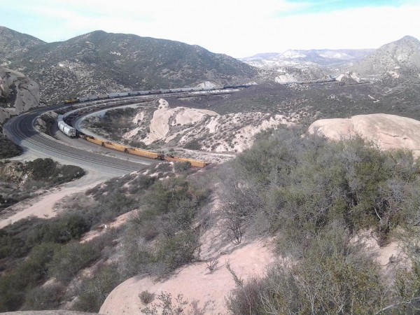
I am not in a hurry to leave the motel. I shop all three gas stations for food for the next few days. Each one has something different to offer. I walk the mile back to the trail and the tunnel underneath Interstate 15. The trail parallels the train track for a while and eventually climbs above.
I climb out on a rock with a good view and drink a tallboy I carried up. It is my birthday!